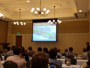
The 27th annual Colorado Stormwater and Floodplain Managers Conference (CASFM) has kicked off and is filled with bright minds and innovation from across the state of Colorado. Attendees from state organizations, municipalities, consulting firms and more are gathering to gain certifications, present solutions and enjoy the comradery amongst water focused professionals.
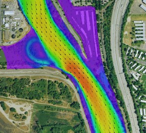
In addition to discussing the many geospatial focused principles involved with flood mapping and modeling, River Engineers from the Fort Collins, CO office are presenting on the use of 2D modeling for flood damage repair on U.S. Rt. 34, which travels through extreme terrain in the Big Thompson Canyon. In September 2013 a near 100-year flood struck the area, resulting in tremendous damage to river banks, roadways and buildings along the canyon corridor. Ayres Associates is working with the Colorado Department of Transportation and construction consultants to repair the river corridor through a 15-mile stretch of the Big Thompson River.
Whether it’s ground or aerial survey to GIS based analysis  and modeling, Ayres Associates Geospatial and Engineering Services plays a vital role in the many projects and initiatives across Colorado. The increasing need for advanced LiDAR solutions and 2D or 3D modeling has given Ayres great opportunities to participate in flood mitigation, post event analysis and water resource planning across a very unique region. Colorado faces many obstacles for water engineering due to its varying elevations, susceptibility to drought, localized severe flooding and increasing development resulting in higher demand for water. As a result, water engineers are becoming increasingly reliant on advanced data driven geospatial solutions with LiDAR derivatives being a focal point to their modeling techniques.


Recent Comments