Ayres stays current with national standards for Wisconsin mapping projects
New ASPRS standards adopted for 3DEP and other geospatial programs has impacts in Wisconsin; procedures already in place for ongoing WROC projects.
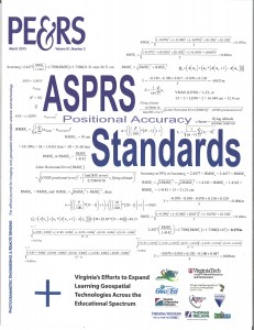
 Our Aerial Mapping Group spent some time in early 2015 to prepare for changing standards in LiDAR and orthoimagery. In November of 2014, the American Society for Photogrammetry and Remote Sensing (ASPRS) adopted a brand new set of standards for geospatial data. This is the first attempt by ASPRS to set comprehensive standards for horizontal and vertical datasets generated from various technologies, primarily aerial imagery and LiDAR.
It has been important for our project managers and technical staff to be prepared for these changes. We flew and are currently processing 43 counties of orthoimagery and 13 countywide LiDAR datasets as part of the Wisconsin Regional Orthophotography Consortium (WROC). That’s a lot of data that needs to be processed to contractual specifications, which incorporates new standards.

The USGS awarded 3D Elevation Program (3DEP) grants to help fund a number of counties in Wisconsin to collect and process LiDAR in 2015. The USGS adopted the ASPRS accuracy standards for LiDAR data, and incorporated these standards into its Quality Level 2 (QL2) definition. Many of the LiDAR projects funded by 3DEP are required to meet the USGS QL2 definition. More 3DEP grants are anticipated for Wisconsin QL2 LiDAR projects in 2016.
Our geospatial technicians have processed more than 40 counties of LiDAR in Wisconsin that have met FEMA and/or USGS standards. Our team is dedicated to staying current with the new standards to ensure our projects continue to meet industry specifications.

 Our Aerial Mapping Group spent some time in early 2015 to prepare for changing standards in LiDAR and orthoimagery. In November of 2014, the American Society for Photogrammetry and Remote Sensing (ASPRS) adopted a brand new set of standards for geospatial data. This is the first attempt by ASPRS to set comprehensive standards for horizontal and vertical datasets generated from various technologies, primarily aerial imagery and LiDAR.


Recent Comments