3D Feature extraction from LiDAR can provide municipalities with fresh perspectives on urban planning and help secure broad project support.
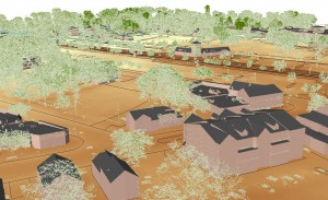 The traditional view of LiDAR as a tool to produce topographic contours for floodplain studies is being challenged by increasingly complex applications for feature extraction from this technology. Today, instead of merely looking at the bare earth information, savvy LiDAR users look above the surface. There is an incredible wealth
 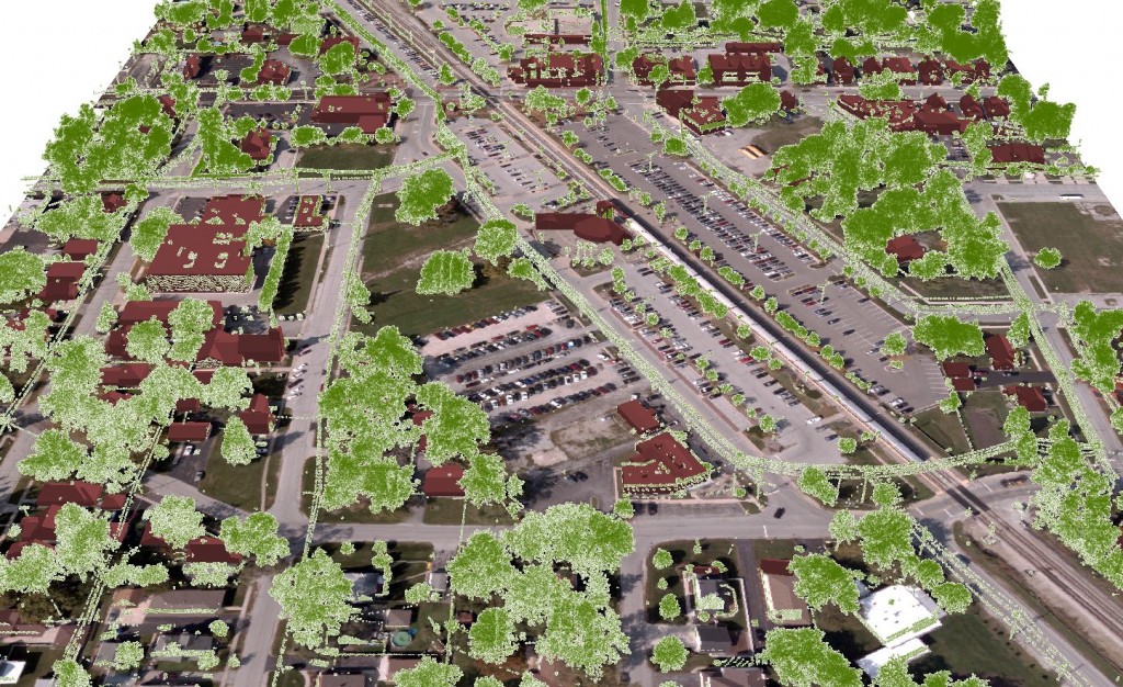 of information captured within these point clouds that provide 3-dimensional perspectives on our natural and urban landscapes.
To make the most of significant investments in LiDAR, many counties and municipalities are now seeking additional project stakeholders that can 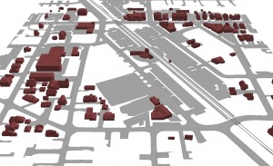 benefit from these projects.
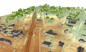
The ability to capture 3D information in addition to surface models opens up many possibilities to secure support for the project from diverse municipal services: planning and zoning, public safety, parks and forestry, etc. For example, a community that is using 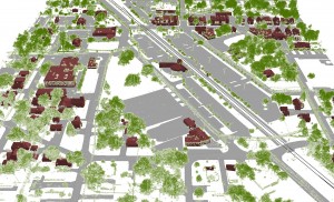 LiDAR to mitigate stormwater issues can offer 3D buildings to planners and electric distribution networks to public utilities. Or, a county that is revising flood insurance rate maps may find project partners within parks and forestry departments to create forest canopy data.
To get the biggest bang out of LiDAR, it is important to consider what other potential applications may be supported by the project. The ability to extract detailed information above the bare earth can hinge on the specifications of the LiDAR mission such as raw point density and swath overlap.
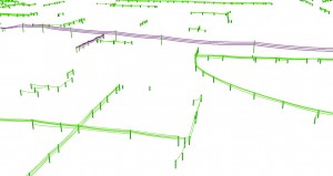
Electric distribution network extracted from a LiDAR point cloud:




Recent Comments