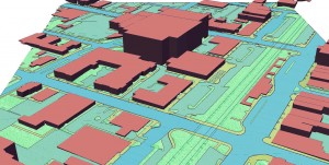
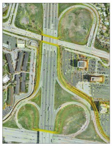
Geospatial data such as topographic mapping, aerial imagery, and planimetrics create the digital foundation for any engineering project. If you manage floodplains and storm water your first priority should be obtaining accurate up to date topographic data. Flooding is not the only application that benefits greatly from geospatial data. The potential applications for quality geospatial data have never been greater. If planned well, data collection efforts can have multiple uses across cities, counties, and even between multiple entities. With shrinking budgets we need new ways to think about serving the people of our cities and counties. Rather than individual entities going it alone in their data collection projects, approaches exist that, are not only more cost-effective, but also encourage intergovernmental cooperation.
Since geospatial information can be widely utilized by multiple entities, forming collaborative partnerships with those entities is an effective way to achieve the same goal in a less overwhelming manner. Through these relationships, participants benefit through collective buying power, cost savings, exchanging of ideas, and sharing of personnel resources. Depending on the overall goal of the cooperative effort, some partnerships will vary (i.e. formal, informal, a consortium, or comprised of dis/similar participants) and be more successful than others.


Recent Comments