Urban Tree Canopy Mapping in Tinley Park, IL.
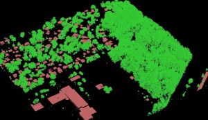
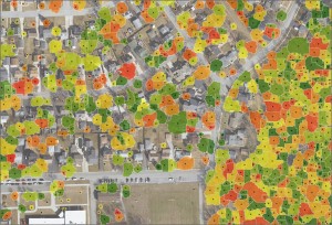
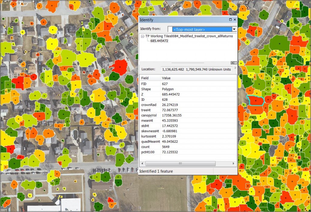
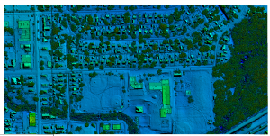
Ayres Associates derived tree crown and centroid data in the Village of Tinley Park using fixed-wing aerial LiDAR acquired at ~ 20 points per square meter. Individual tree crowns and centroids were prepared in shapefile format along with a rasterized Canopy Height Model (CHM). These vectorized features are attributed with calculated statistics for forestry applications, shown below:
In addition to providing an efficient method for street tree inventory, this data provides urban foresters with critical information for managing the health and diversity of the canopy across the entire community – including forested parks and private lands.

A follow up mission has been scheduled to collect multi-spectral imagery during the peak fall colors. This information will be integrated with the LiDAR derived data to assist tree species identification.
The Village of Tinley Park, as part of the GIS Consortium (www.gisconsortium.org), is modernizing their topographic and planimetric base mapping using new technology and software applications. As a member of the Consortium, they share access to advanced digital imaging and LiDAR systems at significant cost savings.


Recent Comments